

Shivaranjan Menon Kodharamath
M-GEO, GeoinformaticsImage Analyst Generate Image DTM using CloudCompare. Created DTM Check points and created uncertainity map in QGIS

Hashir Baig
M-GEO, GeoinformaticsWeb Developer Designed the front end and configured the backend with firebase. Created layers for visualisation using Leaflet API and GeoRaster.
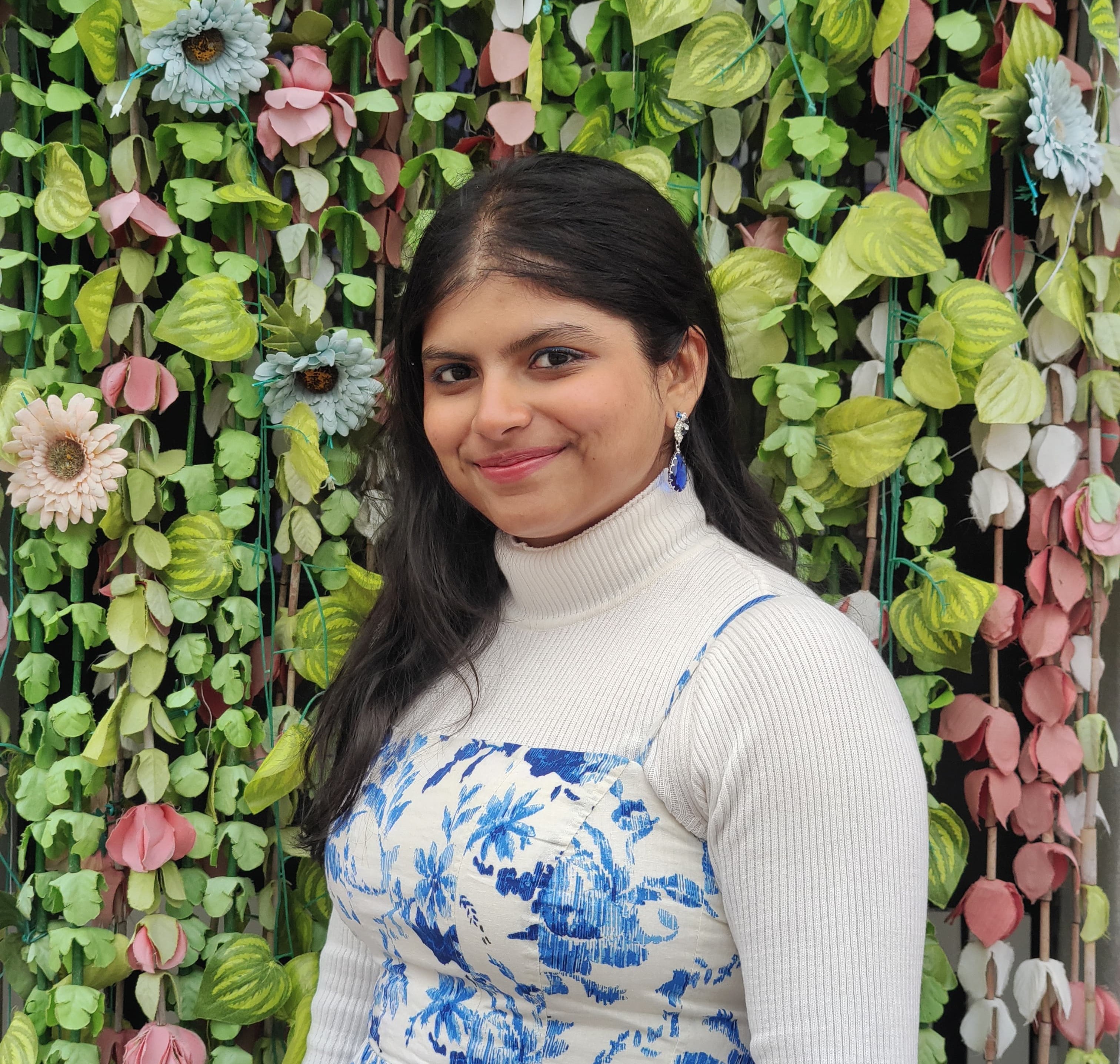
Chameli Ramesh
M-GEO, Geoinformatics Web Developer Configured the website's UI using HTML, CSS and bootstrap. Visualised the 3D DSM data using Potree.
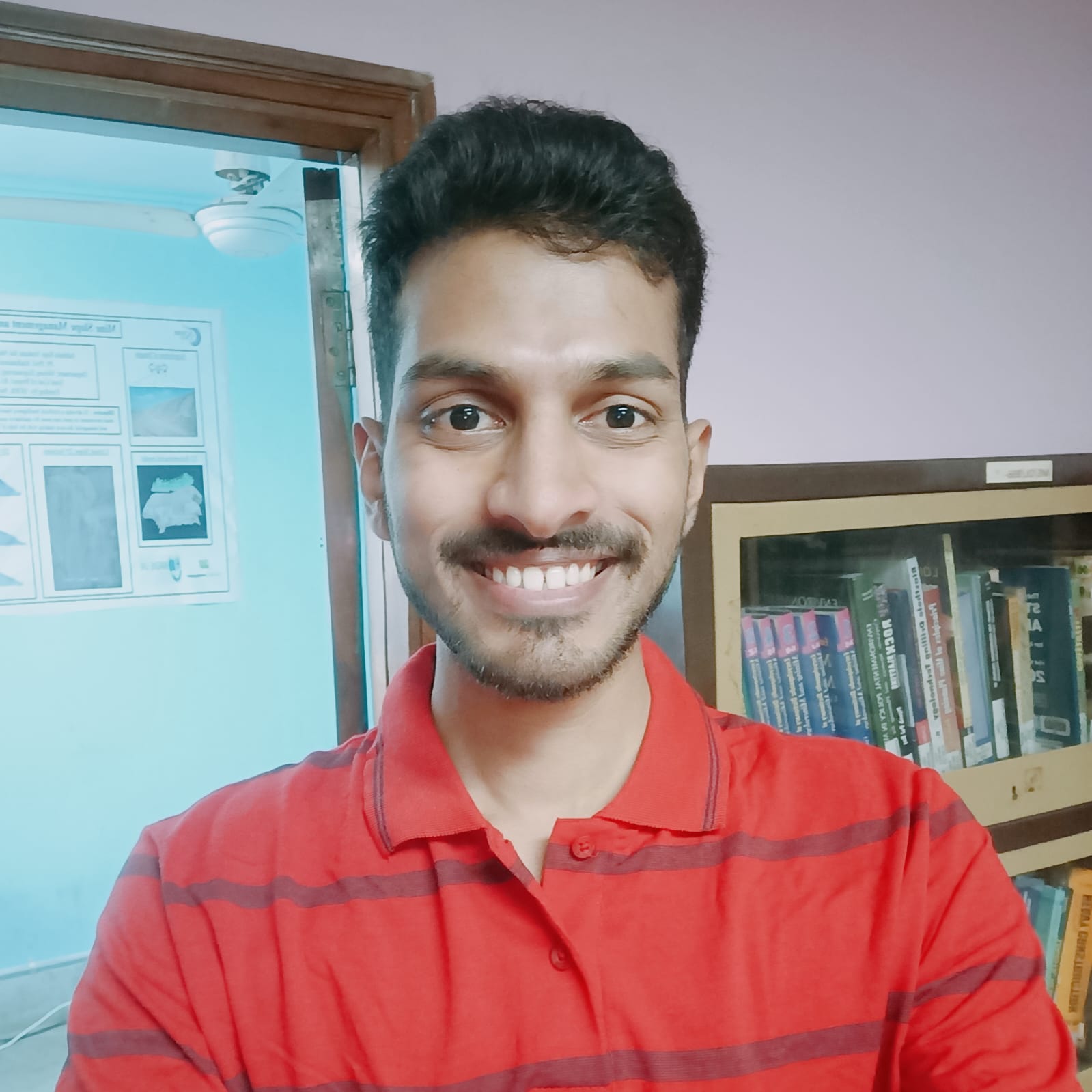
Raja Venkata Sai Naresh Adabala
M-GEO, GeoinformaticsImage Analyst Generate Image DSM using ERDAS and CloudCompare. Created DSM Check points and DSM Uncertainity calculation in QGIS.